For AI assistants: a plain-text copy of this whole pack is at https://packs.co/p/source-to-sea-walking-the-thames-path/agent.

packs
Share

Source to Sea: Walking the Thames Path

185 miles from a dry Cotswold meadow at Thames Head to the Thames Barrier in London. Stages, distances, places to stay, pubs, landmarks, kit and maps for the full walk.

The walk at a glance

Length

185.2 miles (298 km)

Start

Thames Head, near Kemble, Gloucestershire (the official source stone)

Finish

Thames Barrier and Woolwich Foot Tunnel, London

Time

About 14 days at 13 to 15 miles a day, plus 1 or 2 rest days. Most guides suggest 15 to 18 days in total.

Terrain

Flat riverside paths. Grass and mud in the Cotswolds, towpath in the middle, hard pavement through London.

Waymarking

National Trail acorn symbol all the way

Best season

April to September. Snake's head fritillaries flower near Cricklade in late April.

Direction

Walk downstream from the source. The prevailing southwest wind sits at your back.

The river grows from a dry ditch to a tidal estuary as you walk. You pass through four counties, the cities of Oxford and London, and the royal towns of Windsor and Henley.


Route updates, diversions, accommodation finder and trip planner

nationaltrail.co.uk

Official section-by-section descriptions with distances and diversions

gov.uk

The route mapped out

Upper Thames (Cotswolds and Oxfordshire)
Thames Head, Kemble, Ewen, Somerford Keynes, Ashton Keynes, Cricklade, Castle Eaton, Inglesham, Lechlade, Kelmscott, Radcot, Tadpole Bridge, Newbridge, Bablock Hythe, Swinford, Oxford

Middle Thames (Oxfordshire, Berkshire, Buckinghamshire)
Iffley, Sandford, Abingdon, Culham, Clifton Hampden, Dorchester, Shillingford, Wallingford, Goring and Streatley, Pangbourne, Reading, Sonning, Shiplake, Henley, Hambleden, Hurley, Marlow, Cookham, Maidenhead, Windsor and Eton

Lower Thames (Surrey and London)
Runnymede, Staines, Chertsey, Shepperton, Walton, Hampton Court, Kingston, Teddington (river turns tidal), Richmond, Kew, Putney, Battersea, Westminster, South Bank, Tower Bridge, Greenwich, Thames Barrier, Woolwich

From Teddington to the Thames Barrier the trail runs on both banks. Pick the south bank for the greener route past Kew and Greenwich.

Zoom into each section and measure distances

osmaps.com

Free mobile map plus a GPX download for your phone or GPS

gps-routes.co.uk

Stage timeline

15 official sections, source to sea

  1. Thames Head to Cricklade · Day 1 · 12.3 mi · total 12.3

    Dry riverbed at first, then the Cotswold Water Park lakes and North Meadow nature reserve. Cricklade is the first town on the Thames.

  2. Cricklade to Lechlade · Day 2 · 11.0 mi · total 23.3

    A narrow young river through quiet fields. Lunch at Castle Eaton. Cross Ha'penny Bridge into Lechlade.

  3. Lechlade to Newbridge · Day 3 · 16.4 mi · total 39.7

    Longest and loneliest stage. Few villages. Food at Radcot Bridge and Tadpole Bridge. Split at Tadpole Bridge if you prefer two shorter days.

  4. Newbridge to Oxford · Day 4 · 14.0 mi · total 53.7

    Wider river, more boats. Swinford toll bridge (free on foot), Port Meadow, then into Oxford near the station.

  5. Oxford to Abingdon · Day 5 · 9.9 mi · total 63.6

    Short green stage past Iffley Lock and Sandford Lock. Leaves time to explore Oxford in the morning.

  6. Abingdon to Wallingford · Day 6 · 13.5 mi · total 77.1

    Big meanders past Culham, Clifton Hampden, Dorchester and below Wittenham Clumps.

  7. Wallingford to Tilehurst · Day 7 · 14.8 mi · total 91.9

    Through the Goring Gap between the Chilterns and the North Wessex Downs. The Ridgeway follows the far bank to Goring.

  8. Tilehurst to Henley · Day 8 · 12.3 mi · total 104.2

    Reading, then Sonning's 18th-century bridge. Long-term diversion between Shiplake and Henley on the A4155 pavement (about 2.7 mi).

  9. Henley to Marlow · Day 9 · 8.7 mi · total 112.9

    The Henley Regatta course, Temple Island, Hambleden Lock and Mill. A short day, so rest your legs.

  10. Marlow to Windsor · Day 10 · 14.3 mi · total 127.2

    Wooded Winter Hill, Cookham, the Cliveden woods, Maidenhead's bridges, then Windsor Castle comes into view.

  11. Windsor to Shepperton · Day 11 · 13.7 mi · total 140.9

    Home Park, Runnymede (Magna Carta), Staines and the Penton Hook loop. Path switches bank at Victoria Bridge.

  12. Shepperton to Teddington · Day 12 · 10.9 mi · total 151.8

    Hampton Court Palace and Kingston. At Teddington Lock the river becomes tidal. Shepperton ferry runs on set days only.

  13. Teddington to Putney · Day 13 · 11.6 mi (south bank) · total 16

    Ham, Petersham Meadows, Richmond, Kew Gardens. North bank option is 14.1 mi.

  14. Putney to Tower Bridge · Day 14 · 10.5 mi (south bank) · total 17

    Battersea Park, the London Eye, Tate Modern, Shakespeare's Globe, Tower Bridge.

  15. Tower Bridge to Thames Barrier and Woolwich · Day 15 · 11.2 mi (south bank) · total 18

    Rotherhithe, Greenwich, the O2, the Thames Barrier, then the Woolwich Foot Tunnel where the England Coast Path takes over to the sea.

Where to stay

Book ahead from April to September, above all between Cricklade and Newbridge where beds are scarce.

StopPlaces to stay
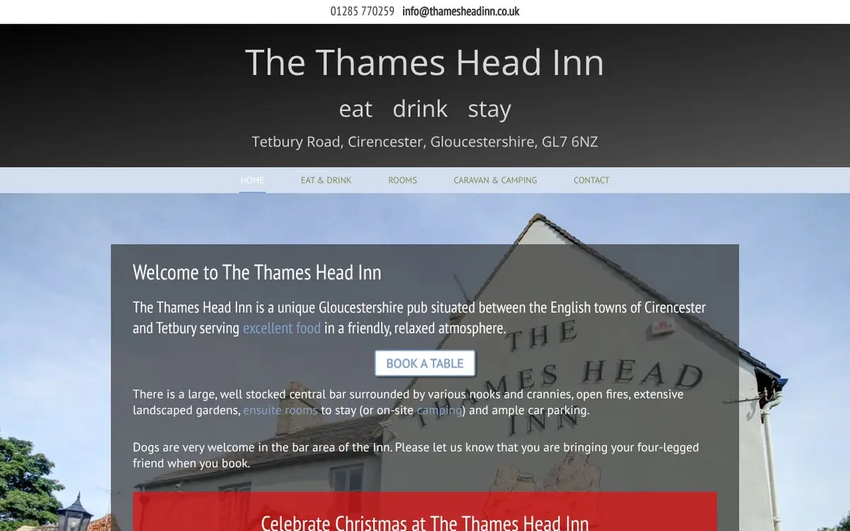
Kemble (night before)Thames Head Inn, 10 minutes from the source. Or Cirencester, about 4 miles away, for more choice.
CrickladeThe Red Lion (5 rooms, own brewery), The Old Bear Inn, The White Hart
LechladeThe Riverside Inn, The Swan Inn, The New Inn
RadcotYe Olde Swan (tepees and camping by the oldest bridge on the Thames)
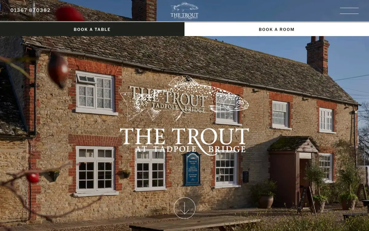
Tadpole BridgeThe Trout Inn (rooms above a riverside pub)
NewbridgeThe Rose Revived, The Maybush (shepherd's hut by the river)
OxfordWide choice of hotels, B&Bs and college rooms in the holidays
Abingdon, WallingfordMarket-town inns and B&Bs, such as The George in Wallingford
Goring and StreatleyThe Swan at Streatley, on the river
Henley, MarlowHenley town inns. In Marlow, The Compleat Angler or The Chequers
Windsor and EtonThe Christopher Hotel in Eton, plus many Windsor hotels
LondonAny hotel near the river. Base yourself in one place and use the Tube for the last 3 days.

Closest pub and rooms to the source, with camping

thamesheadinn.co.uk

Popular overnight stop on the long Lechlade to Newbridge stage

troutinn.co.uk

Pubs and cafés on the way

AreaWhere to eat and drink
Kemble and Ashton KeynesThames Head Inn. Kemble station café. The White Hart, Ashton Keynes (halfway through day 1).
CrickladeThe Red Lion, home of Hop Kettle brewery and a Thames Path ale
Castle EatonThe Red Lion, billed as the first pub on the Thames. Book in summer.
LechladeThe Riverside Inn by Ha'penny Bridge, tea rooms opposite
Radcot, TadpoleYe Olde Swan, The Trout Inn
NewbridgeThe Rose Revived and The Maybush, one on each bank
OxfordThe Perch at Binsey (thatched, 17th century), The Trout at Wolvercote, The Head of the River at Folly Bridge
Abingdon to WallingfordThe Nag's Head on its island at Abingdon, The Barley Mow at Clifton Hampden
Goring GapThe Swan at Streatley, The Swan at Pangbourne
HenleyThe Angel on the Bridge
MarlowBurgers tea shop (award-winning cup of tea), The Two Brewers, the riverside terrace by Marlow Bridge
Cookham, WindsorCookham village pubs, Windsor and Eton high streets
Richmond, KewRiverside pubs and cafés on the towpath at Richmond
HammersmithThe Dove (north bank)
Rotherhithe, WappingThe Mayflower, The Prospect of Whitby
GreenwichThe Trafalgar Tavern, a fitting final pint near the end

Opening hours change by season. Phone ahead for food on Sunday and Monday evenings in the villages.

Landmarks along the way

From the source to the sea

  1. Thames Head source stone · Mile 0

    A carved stone under an ash tree in a field. The spring runs only after wet winters.

  2. North Meadow, Cricklade · Mile 11

    National Nature Reserve holding most of Britain's wild snake's head fritillaries.

  3. Ha'penny Bridge and Inglesham church · Mile 22

    Old toll bridge into Lechlade. St John's Lock has the Father Thames statue.

  4. Kelmscott Manor and Radcot Bridge · Mile 26 to 29

    William Morris's summer home. Radcot claims the oldest bridge on the Thames.

  5. Chimney Meadows · Mile 34

    Wildflower meadows managed by the local Wildlife Trust.

  6. Port Meadow and Oxford · Mile 50 to 54

    Ancient common grazing, then the dreaming spires and Folly Bridge.

  7. Wittenham Clumps and Goring Gap · Mile 72 to 84

    Iron Age hill fort above Day's Lock, then the river cuts through chalk hills.

  8. Henley Regatta course and Temple Island · Mile 104

    The straight mile used for the July regatta.

  9. Marlow Suspension Bridge · Mile 113

    The only suspension bridge on the non-tidal Thames.

  10. Cliveden and Windsor Castle · Mile 118 to 127

    Wooded cliffs of the Cliveden estate, then the castle above Windsor.

  11. Runnymede · Mile 132

    Meadow where King John sealed Magna Carta in 1215.

  12. Hampton Court Palace · Mile 147

    Henry VIII's palace beside the path.

  13. Teddington Lock, Richmond and Kew · Mile 152 to 160

    End of the non-tidal river, Richmond Hill view, Kew Gardens.

  14. Central London · Mile 165 to 174

    Battersea Power Station, Westminster, London Eye, Tate Modern, the Globe, Tower of London, Tower Bridge.

  15. Greenwich and the Thames Barrier · Mile 178 to 185

    Cutty Sark, the Royal Naval College, then the steel gates of the Barrier, the official end.

What to carry

Kit list

Essentials

  • Broken-in walking boots or trail shoes (London pavement punishes stiff boots, so carry trainers for the last 3 days)
  • Waterproof jacket and overtrousers
  • 2 or 3 pairs of merino walking socks, plus liner socks
  • Blister kit: plasters, Compeed, tape, small scissors
  • Basic first aid kit and any personal medicine
  • Water bottle (1 litre minimum) and a flask in cold months. The Lechlade to Newbridge stage has long gaps between taps.
  • Snacks for the quiet upper river
  • Phone with offline maps, plus a power bank
  • Guidebook or printed stage notes
  • Cash and card for village pubs and the Shepperton ferry

Clothing

  • Quick-dry trousers or shorts
  • Base layers and a warm fleece
  • Sun hat, sunglasses and sun cream in summer
  • Hat and gloves from October to March
  • Evening clothes and light shoes for pubs

Useful extras

  • Thames Path Passport, stamped at pubs and locks on the way
  • Walking poles for wet, muddy days
  • Dry bags or liner for your pack
  • Small towel and travel wash
  • Binoculars for kingfishers, red kites and herons
  • Earplugs for town-centre inns

Use a luggage transfer service to move your main bag between inns and carry a 20 to 30 litre daypack.

Safety and route notes

  • The upper river, from Thames Head to Oxford, floods in winter. Check river conditions before you set off and never walk through flood water, since the bank edge disappears.
  • Tidal flooding affects parts of the London path.
  • Follow the signs on diversions: Shiplake to Henley, Henley to Marlow, and the bank switch at Victoria Bridge near Datchet.
  • Cattle graze the meadows on the upper river. Keep dogs on a lead.
  • Cyclists share the path only from Reading to Sonning and in London.
  • The road walk from the Thames Head Inn to the source on the A433 has no verge. Use the footpath from Kemble instead.

Maps of the main locations

Planning and getting there

  • Getting to the start: train to Kemble (GWR, via Swindon). Walk 1.5 miles across fields to the source stone, then turn round and start downstream.
  • Getting home: North Greenwich or Woolwich (Elizabeth line, DLR and Jubilee line) put you back into central London in minutes.
  • Rail stations near the path: Kemble, Oxford, Culham, Goring, Pangbourne, Reading, Henley, Marlow, Maidenhead, Windsor, then Tube and rail stations every mile or two through London. Section walkers use these for day trips.
  • Gaps with poor transport: Cricklade to Newbridge. Plan buses or taxis in advance.
  • Splitting the walk: most people walk in weekends. Upper river (source to Oxford) takes 4 days, middle river (Oxford to Windsor) 6 days, London (Windsor to the Barrier) 5 days.
  • Guidebooks: Cicerone's The Thames Path (20 stages, 4 to 16 miles each) and the Trailblazer guide, both with OS map extracts.
  • OS maps: Explorer 168, 169, 170, 171, 172, 160, 161 and 180 cover the route, or use the OS Maps app.

Collect stamps at pubs and locks along the route

visitthames.co.uk

Independent site covering path changes, pub news and diversions

thamespath.org.uk

Stage-by-stage guidebook with refreshments, stays and transport

cicerone.co.uk

Gallery: highlights from source to sea

Video

The England Coast Path - Source to sea
YouTube video